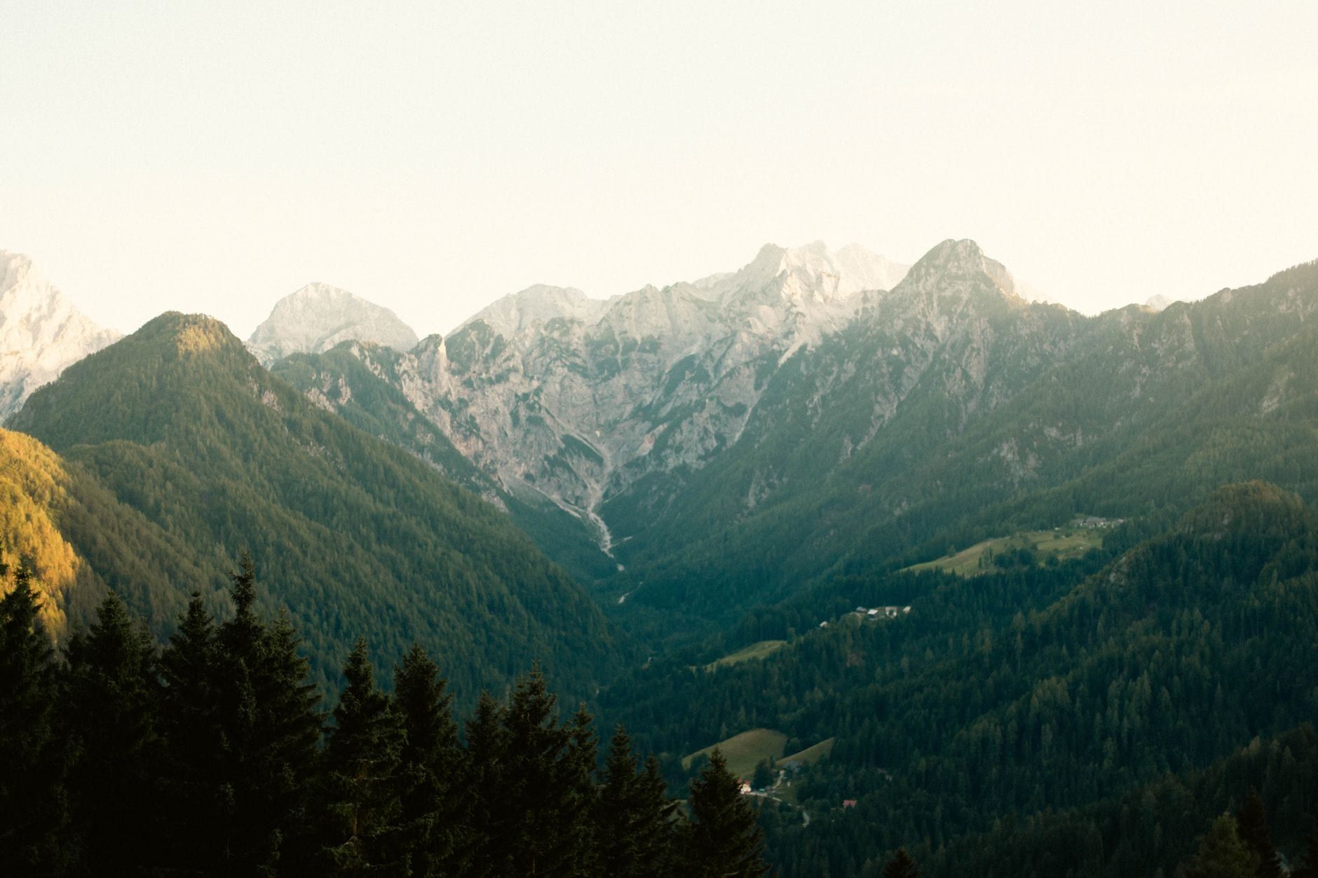
Triglav National Park packs glacier valleys, karst plateaus and Slovenia's only high mountains into 840 km² of the Julian Alps, all laced with more than 800 km of marked trails. You can be on a waterfall boardwalk an hour after breakfast and sleeping in a mountain hut at 2,500 m the following night. This guide sorts the park's best hikes by difficulty, then covers the seasons, hut logistics, fees and rules you need to plan either a half-day stroll or a four-day traverse.
Triglav National Park at a Glance
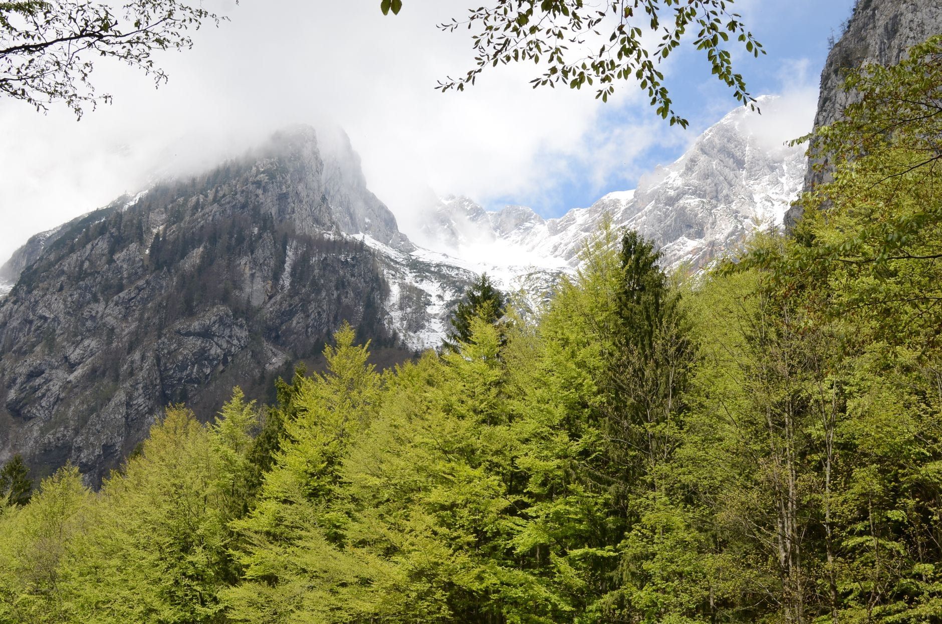
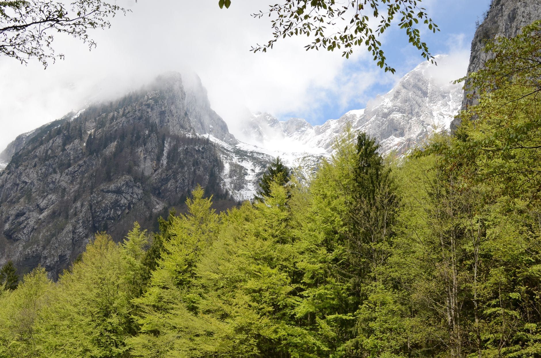
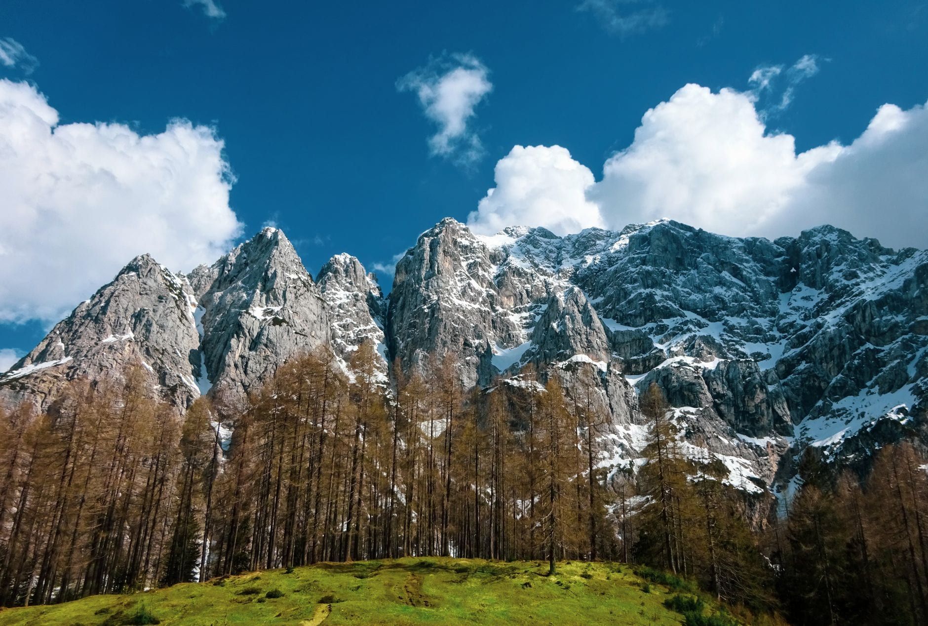
This is Slovenia's only national park, covering 840 km² — about 4% of the country — in the north-western Julian Alps along the Italian border. Mount Triglav (2,864 m), the country's highest peak, gives the park its name, and elevations run from its summit down to 180 m at the Tolmin Gorges. Around 2,300 people live inside the boundary in 33 villages, so this is lived-in mountain country, not wilderness.
Planning is simpler than the terrain suggests. Entry is free and the park is open around the clock, with no permits for hikers; only the showpiece gorges charge admission. Every trail, from valley promenade to high-alpine scramble, carries the Knafelc waymark — a red circle with a white centre — so wayfinding stays manageable even where phone signal disappears. The catch is water: sources on the high karst are scarce even where drinkable, so carry what you need.
So is this a serious undertaking or a casual outing? Both. A day trip from Bled gets you a gorge walk and a lake viewpoint without breaking a sweat, while the high traverses demand helmet, via ferrata kit and alpine judgement. Most visitors land somewhere in between: two or three days, one or two proper hikes, a lot of cream cake.
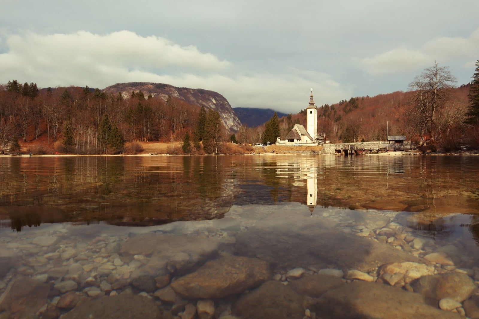
Best Hikes in Triglav National Park (Sorted by Difficulty)
The hikes below span the park's difficulty range and make a good shortlist on their own. Every trailhead sits within an hour's drive of Bled or Kranjska Gora, and the only costs are entry fees and parking.
| Trail | Time | Elevation gain | Trailhead | Entry fee |
|---|---|---|---|---|
| Vintgar Gorge | 45 min one way | Minimal | Bled / Podhom | €15 |
| Mostnica Gorge + Voje Valley | 2–3 h return | ~150 m | Stara Fužina | €3 |
| Slemenova Špica | 3 h return | ~350 m | Vršič Pass (1,611 m) | Free |
| Mt. Viševnik | 4–5 h return | 1,347 m to 2,050 m | Rudno Polje, Pokljuka | Free |
| Seven Lakes Valley | 6–9 h return | 850 m | Blato pasture | Free |
| Kriški Podi | 8–9 h return | ~1,200 m | Vrata Valley (Aljažev dom) | Free |
Vintgar Gorge: boardwalks above the Radovna
A 1,600-metre wooden boardwalk threads along the Radovna River past clear pools and rapids, ending at Šum waterfall. It's a 45-minute one-way walk on a level but stepped surface, run on timed tickets with a one-way flow — book online, because morning slots sell out in summer. Helmets are mandatory and handed out at the visitor centre. Entry is €15 for adults, €5 for children, and the gorge closes from November to March.
Mostnica Gorge and Voje Valley
From Stara Fužina on Lake Bohinj, a 2 km gorge walk passes river pools up to 20 m deep and the Little Elephant, a rock the water has carved into something unmistakably pachyderm-shaped. Past the gorge mouth the route levels out into the Voje Valley, reaching a hut in about 45 minutes. Entry is €3. Bring children here: it's flat, pretty, and the rock keeps them interested.
Peričnik Waterfall loop
A 1.5 km walk from Koča pri Peričnik in the Vrata Valley leads to a 52-metre double fall, and the lower curtain has a path behind it — you can stand in the cave and watch the water pour off the cliff above you. Come in deep winter and the whole thing freezes into a blue column. The loop takes 15–30 minutes. Combine it with the Triglavska Bistrica trail down the valley, where Triglav's north face — a limestone wall nearly 3 km wide — fills the sky.
Zajamniki pasture on Pokljuka
Pokljuka, the forested plateau above Bled, hides open meadows at 1,280 m, and Zajamniki is the prettiest: a row of wooden shepherd huts backed by mountain views. The walk from Rudno Polje (1,347 m) or Uskovnica is gentle and stays walkable year-round — snowshoes in January, blossom in May. No fees, no exposure.
Slemenova Špica: the best views per effort
Start high and you cheat the mountain. From Erjavčeva koča on Vršič Pass (1,611 m), a well-graded trail climbs about 350 m in 1.5 hours to the 1,909 m summit of Slemenova Špica, technically easy enough for children with some hill mileage. The payoff is a full sweep of Mt. Jalovec and the Tamar Valley from a summit that cost you a morning. This is the park's best easy-moderate hike, full stop.
Vogar meadow above Lake Bohinj
From Stara Fužina, about 454 m of climbing through forest (roughly 1.25 hours) opens onto Vogar, a meadow that doubles as a paraglider launch. When the wings aren't flying, you get the best panorama of Lake Bohinj anywhere. Go in the morning for calm air and the lake still in shadow.
Mt. Viševnik from Rudno Polje
Viševnik (2,050 m) is the least demanding two-thousander in the park: 4–5 hours round trip from Rudno Polje on Pokljuka, with a 360° panorama of the Julian Alps from the top. The upper slopes are open limestone, so pick a clear day. Pair it with Zajamniki for a full Pokljuka day.
Savica Waterfall and the Vogel gondola
Savica plunges 78 m in an A-shape into a green pool, fed by water that runs underground from the Triglav Lakes Valley. It's a short, steep climb — around 500 m of gain, 553 stairs — from the car park at Ukanc, and entry is €4 (free for everyone on the first Sunday of each month). Steps rule out strollers. From the same car park, the Vogel cable car lifts you about 1,000 m above the lake for roughly €30 return; from the top station it's about 2.5 hours and 550 m of gain to Vogel's summit, with views that reach toward the sea on a clear day.
Soča Trail: the river from source to Bovec
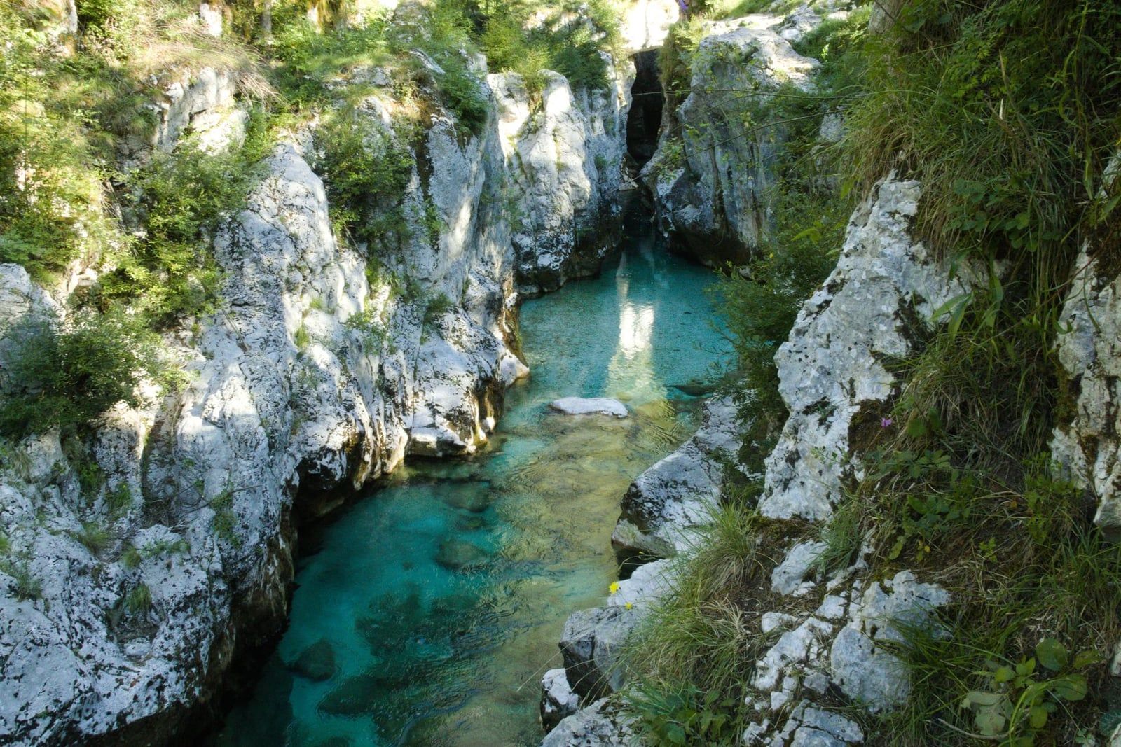
The Soča Trail runs roughly 25 km from the river's source in Trenta down to Bovec, tracing the emerald river through the park's wild south-west, and forms part of the Alpe Adria Trail. You don't have to do it all — the stretch through the Great Soča Gorge, 750 m of polished limestone with turquoise pools, is a flat hour on its own. The trail is free, and swimming in the Soča itself is allowed.
Seven Lakes Valley: the park's signature hike
From the Blato pasture above Bohinj, a 16 km round trip with 850 m of gain links a chain of glacial lakes sitting in basins below the high ridges. Allow 6–9 hours, and stop at the huts along the way for soup and štruklji. This valley was the first part of the park to be protected, back in 1924, and it still shows why. Start early — the last climb out of the valley in afternoon heat is a slog.
Kriški Podi plateau
The hardest day hike on this list: about 1,200 m of ascent from Aljažev dom in the Vrata Valley, 8–9 hours return, to a high karst plateau with a hut open June to August. A couple of secured sections use fixed cables. In exchange you get ibex, marmots and the Triglav north face close enough to study. Not one for tired legs or a shaky weather window.
A note on Vršič Pass trailheads
Vršič (1,611 m), Slovenia's highest road pass, was built during the First World War by 10,000–12,000 Russian prisoners of war, and its 24 hairpins are now the launch pad for Slemenova Špica, Mala Mojstrovka and the Tamar Valley. The road is open roughly late May to October. Hiking from here without a car? A seasonal bus runs Kranjska Gora–Vršič–Trenta several times a day in summer.
Best picks for families and non-hikers
Take children to Mostnica Gorge, the Peričnik loop or Zajamniki — all flat or nearly so, with something to look at every few minutes. Slemenova Špica works for kids who've done a proper hill before. Vintgar suits families too, with a kids' Adventure Passport of 13 stations, though the operator advises against children under 3 and the stepped boardwalk rules out strollers.
When to Hike: Seasons and Timing
Late June to mid-September is the core season: huts and the high passes are open, snow has mostly cleared from the ridges, and the days are long enough to finish big hikes before dark. July and August bring the fullest hut coverage and July highs around 26°C, but also the crowds and the most frequent storms. June and September are the sweet spots — quieter trails, most huts still open, and in September the larch and beech turn gold across the valleys. Our guide to the park in autumn covers the best weeks and trails for that colour.
Gorges, waterfalls and valley trails run April to October, and many stay open all year. The exceptions are seasonal: Vintgar closes November to March, and the Vršič Pass road doesn't open until late May. May is the wettest month (around 13 rain days) with high routes still snowbound, and November is the park's dullest — short days, fog, mud, most mountain infrastructure shut.
Daily timing matters more than the calendar. Summer thunderstorms build over the ridges most afternoons, so start at dawn on anything exposed and plan to be off the crest by early afternoon. Snow patches can linger on north-facing high trails well into July — one more reason to check conditions rather than assume June means summer underfoot.
Winter rewrites the rules. High hiking becomes ski-touring and crampon territory, demanding winter alpine skills. What stays walkable: valley trails, Zajamniki in snow, the Tamar Valley, and the frozen spectacle at Peričnik. Savica stays open weather permitting. Our winter guide to the park covers what's realistic on foot and what needs gear.
Before any high route, check the park's current-conditions page on tnp.si — trails and huts close or reroute after rockfall, landslides and avalanches — and the ARSO mountain weather forecast. Do both the night before and again in the morning. Conditions change faster than forecast apps admit.
Multi-Day Treks: Hut-to-Hut Routes and the Juliana Trail
The Slovenian hut system makes multi-day treks possible: dorm beds, half-board and a welcome plate of dumplings at 2,000 m. Book several weeks ahead for July–August, either through each hut's page on pzs.si or the hut's own site, and carry cash — card payment is not guaranteed. Dorm beds run €30–45 without alpine club membership, roughly half that if you hold one with reciprocal rights. Some huts have no running water or showers, sleeping bags are banned (huts provide blankets), and you're expected to bring indoor slippers. It sounds austere. After nine hours on a ridge, it isn't.
The flagship traverse runs Vršič Pass to Lake Bohinj in four days and about 44 km. Stage 1 crosses to Pogačnikov dom on the Kriški podi plateau (9 km, 6.5 h). Stage 2 continues to Koča na Doliču below Triglav's south ridge (9.4 km, 6 h). Stage 3 climbs over Kanjavec (2,568 m) to Koča pri Triglavskih jezerih in the Seven Lakes Valley (9.1 km, 5 h). Stage 4 drops 16 km to Lake Bohinj (about 6 h).
Be honest about what that involves. The high traverse crosses limestone karst with scrambling and secured sections of fixed cables and pegs; scree, exposure and loose rock are standard, a climbing helmet is non-negotiable, and the route is not for beginners. Slips are the most common mountain accident in Slovenia, usually on terrain that outmatched the hiker.
If that's not your trip, the Juliana Trail loops about 270 km around the park's foothills in 16 stages (plus 4 more to Brda), averaging 18–25 km and roughly 10,000 m of total elevation change — long-distance walking with beds and restaurants at each stop, and no high-alpine exposure. Self-guided operators handle planning on both routes: they book the huts, transfer luggage between stages and supply GPS tracks, and traverse itineraries can add a guided Mount Triglav summit with an IFMGA-licensed guide and via ferrata kit included.
Climbing Mount Triglav: What It Really Takes
Every Triglav summit route ends the same way: about 400 m of cable-protected scrambling on the Mali Triglav ridge to the 2,864 m summit. That final section is a via ferrata in all but name — exposed, with steel cables and pegs in steep limestone. A helmet is essential and most hikers use a via ferrata kit. There's no walking around it; if that description doesn't appeal, the summit doesn't either.
The classic plan is two days from the Krma valley, the gentlest approach, with a night at Kredarica hut (2,515 m) below the summit ridge. Approaches also start from Pokljuka, or from Koča na Doliču if you're already on the traverse. Whichever door you enter by, the summit day is short but exposed.
Guides aren't compulsory, and fit hikers with via ferrata experience climb Triglav independently every season. If you've never used cables on rock, hire an IFMGA guide — they meet clients at the huts from late June to September and bring the kit. One more thing: helicopter rescue can be billed (reported at roughly €25 per minute, up to around €500), so carry insurance that explicitly covers mountain rescue. Full route detail lives in our guide to climbing Mount Triglav, and guided ascents are listed among the site's Triglav National Park tours.
What to Pack and Safety Essentials
Pack for the mountains, not the forecast. Layers you can shed as you climb, a warm layer for the hut, and grippy boots whatever the season — the limestone is crumbly, and slipping is the number-one cause of mountain accidents in Slovenia. On steep or exposed trails, add a climbing helmet; falling rock doesn't check whether you're a serious climber first.
Water needs planning. Most mountain water in the park is drinkable, but sources are scarce on the high karst, so carry enough for the day plus a margin, and throw in high-calorie food. Navigation is the same story in reverse: trails are well marked, but phone reception is unreliable across most of the park, so download offline maps or GPX tracks before you leave and ration your battery. Slovenia's emergency number is 112, by call or SMS.
Before you set out, tell someone your route and when you expect to be down. Check the ARSO mountain forecast the evening before, and set a turnaround rule in advance — if storms are building or the ridge is still in cloud at midday, the summit will still be there next year. Closures from rockfall, landslide and avalanche damage are posted on the PZS stanje-poti site and the park's current-conditions page.
Getting There and Where to Stay
Pick your base by the trails you want, because the park's corners don't connect quickly. Bled suits Vintgar and Pokljuka walks. Bohinj and Stara Fužina put you beside Mostnica, Vogar, Savica and the Seven Lakes trailheads. Kranjska Gora owns Vršič, the Tamar Valley and the northern summits. Bovec covers the Soča Trail and gorge country, and small Mojstrana sits closest to the Vrata Valley and Krma. For sleeps, our accommodation guide to the park covers campsites, apartments and huts area by area.
A car is the practical choice: trailheads are scattered, the motorway e-vignette costs €16 for a week, and Ljubljana airport is only 30–40 minutes from Bled. Expect to pay for parking at popular trailheads — typically a few euros an hour — and note that rural payment points may want cash. In July and August, car parks fill by mid-morning, so arrive before 9:00 or use the summer shuttles.
Carless works too, with patience. Direct buses link Ljubljana with Bled (about 2 hours, €8–10), Kranjska Gora and Lake Bohinj, roughly hourly on the Bled routes in summer; trains reach Lesce-Bled or Jesenice in about an hour with a 30-minute bus connection onward. Guided day trips from Ljubljana solve the scattered-trailhead problem if you'd rather not drive. Full transport detail is in our guide to getting to Triglav National Park. For hut-to-hut trekkers, self-guided operators transfer luggage between stages, and valley hotels will usually store the rest.
Park Rules and Responsible Hiking
Camping outside designated campsites is banned across the park, and Julian Alps municipalities have settled on fines of around €500 for illegal camping. In the high mountains the huts are the legal overnight option — which is also the pleasant one. Fires are only allowed in specially designated places.
Swimming in high-mountain lakes and streams is prohibited, and the ban applies to dogs too. Swim instead in Lake Bohinj, the Soča or other valley waters. The rest of the code is common sense with teeth: stay on marked trails, carry out all your rubbish, don't pick flowers, keep dogs on a leash away from livestock, no mountain biking on park trails, and no drones — flights below 1,000 ft over the park need prior authorisation from the park institute, and fines for illegal footage run €200–2,500.
The fee picture in one place: the park itself is free, the timed attractions charge, and the amounts are small enough that they shouldn't surprise anyone. Current prices and opening hours live on our park hours and fees page.
| Attraction | Adult fee | Worth knowing |
|---|---|---|
| Vintgar Gorge | €15 | Timed tickets online; helmet included; closed Nov–Mar |
| Savica Waterfall | €4 | Free for everyone on the first Sunday monthly |
| Mostnica Gorge | €3 | Free beyond the gorge in Voje Valley |
| Kozjak Falls | €5–8 | Seasonal pricing; near Kobarid |
| Tolmin Gorges | €5–8 | Timed tickets recommended in advance |
| Vogel cable car | ~€30 return | Cuts ~1,000 m of ascent above Lake Bohinj |
Frequently asked questions
Do you need a guide to hike in Triglav National Park?
No. Most marked trails, including the Seven Lakes Valley and all the gorge and valley walks, are fine independently. A guide earns its fee on exposed high-alpine routes: the Triglav summit's cable-protected sections are best done with an IFMGA-licensed guide unless you have via ferrata experience.
Is there an entrance fee for Triglav National Park?
Entry to the park is free and needs no permit. Individual attractions charge: Vintgar Gorge €15 (timed tickets, closed November–March), Savica Waterfall €4, Mostnica Gorge €3, and Kozjak Falls and the Tolmin Gorges €5–8 depending on season.
When is the best time to hike in Triglav National Park?
Late June to mid-September for high trails, with huts fully open in July and August. Gorges, waterfalls and valley walks work April to October and many stay open year-round. Expect afternoon storms in summer and snow or ice on high ground from October to May.
Can you wild camp in Triglav National Park?
No. Camping is only allowed in designated campsites, and in the high mountains the mountain huts are the overnight option. Municipalities across the Julian Alps now issue fines of about €500 for illegal camping.
How hard is it to climb Mount Triglav?
Slovenia's highest peak (2,864 m) finishes with about 400 m of cable-protected scrambling on the Mali Triglav ridge. Fit, sure-footed hikers with a head for heights do it with a helmet and via ferrata kit; without that experience, hire an IFMGA guide. The classic plan is two days from the Krma valley with a night at Kredarica hut (2,515 m).
What are the best easy hikes in Triglav National Park for families?
Slemenova Špica (about 1.5 h one way from Vršič Pass), Mostnica Gorge and the flat walk into Voje Valley, the Peričnik waterfall loop where you can walk behind the falls, the Zajamniki pasture walk on Pokljuka, and Vintgar Gorge's boardwalks.
Do I need to book mountain huts in advance, and how much do they cost?
Book several weeks ahead for July and August, via each hut's page on pzs.si or the hut's own site. Dorm beds run €30–45 without alpine club membership, roughly half that with a reciprocal club card. Payment is often cash-only, some huts have no showers, and sleeping bags are banned — huts provide blankets.
Can you swim in the alpine lakes in Triglav National Park?
No. Bathing in high-mountain lakes and streams is strictly prohibited, including for dogs. Swimming is fine in Lake Bohinj, the Soča River and other valley waters.
Sources
- tnp.si/en/park/basic-information/triglavski-narodni-park
- tnp.si/en/visiting-park/activities/hiking/
- tnp.si/en/visiting-park/information-for-visitors/code-of-conduct
- tnp.si/en/visiting-park/latest/actual-conditions
- vintgar.si/en/my-visit/pricelist
- bohinj.si/en/savica-waterfall
- vogel.si/en
- britannica.com/place/Triglav